
Distance to Major Markets
| CITY | NM | SM |
| Atlanta, GA | 450 | 520 |
| Baltimore, MD | 140 | 160 |
| Birmingham, AL | 560 | 640 |
| Charleston, SC | 310 | 350 |
| Charlotte, NC | 250 | 290 |
| Chicago, IL | 620 | 720 |
| Cincinnati, OH | 420 | 480 |
| Cleveland, OH | 380 | 430 |
| Detroit, MI | 460 | 530 |
| Indianapolis, IN | 500 | 580 |
| Jacksonville, FL | 470 | 540 |
| Memphis, TN | 680 | 780 |
| Miami, FL | 700 | 800 |
| Nashville, TN | 510 | 580 |
| New York, NY | 250 | 290 |
| Orlando, FL | 560 | 650 |
| Philadelphia, PA | 190 | 220 |
| Pittsburgh, PA | 290 | 330 |
| St Louis, MO | 680 | 780 |
| Washington, DC | 120 | 140 |
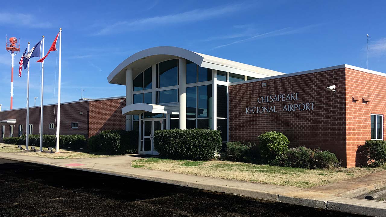
DIRECTIONS TO CHESAPEAKE REGIONAL AIRPORT
- From Norfolk - Take I-464 South to Route 17 South (Dominion Blvd)
- From Virginia Beach - Take I-64 East to Exit 291B to Route 17 South (Dominion Blvd)
- From Suffolk - Take Route 58 East to I-664 South to I-64 West to Exit 292 Turn right, go one block and turn right onto Route 17 South (Dominion Blvd)
- Take Route 17 South (Dominion Blvd) over Veteran’s Bridge, past Cedar Road and Wal-Mart
- Turn Left on Scenic Parkway at Grassfield High School until you reach West Road
- Turn Left on West Road
- Airport is on the left (2800 Airport Drive) approximately, 3 miles
Google Maps Directions click here.

click image to enlarge

click image to enlarge